Notes
From the National Park Service website:
"Wupatki National Monument was established by President Calvin Coolidge on December 9, 1924, to preserve Citadel and Wupatki pueblos. Monument boundaries have been adjusted several times since then, and now include additional pueblos and other archeological resources on a total of 35,422 acres.
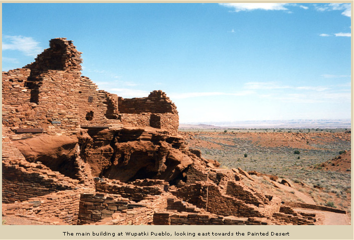
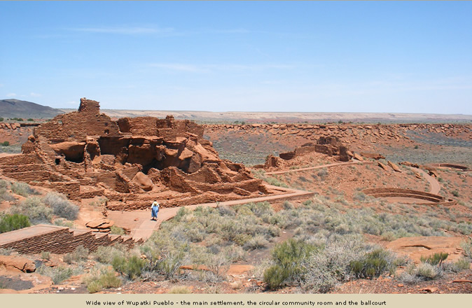
"Heat waves distort the horizon. Constant winds sap moisture from every pore. Tantalizing thunderstorms build but cheat the land of rain. The rock walls of an 800-year-old pueblo frame a landscape offering little obvious source of food, water, or comfort. On a summer day, the high desert of Wupatki seems much the same today as when, amid the rumblings of Sunset Crater Volcano, ancestral Puebloan people settled here. In this region of dramatic geologic landforms, climatic extremes, scarce water, and diverse plant and animal species, they created self-sustaining lives."

Photograph from www.americansouthwest.net.
From the National Park Service website:
"Wupatki National Monument was established to preserve the archeological sites from which we can learn about past and present cultures. We have since realized that Wupatki's history is a complex story of people interacting with this living, evolving landscape. The dynamic processes of volcanism, tectonics, and erosion have created the geologic formations and abrupt elevation changes that provide, within a short distance, a wide variety of habitats for plants and animals. The effects of elevation are startlingly visible along the scenic loop road connecting Wupatki with Sunset Crater Volcano National Monument, 18 miles to the south. A drive along this road is a journey from desert grasslands (at less than 5,000' elevation) to ponderosa pine forest (near 7,000').
"Today, Wupatki National Monument protects 56 square miles (35,254 acres) of high desert directly west of the Little Colorado River and the Navajo Reservation. Its vistas preserve clues to geologic history, ecological change, and human settlement. All are intertwined."


